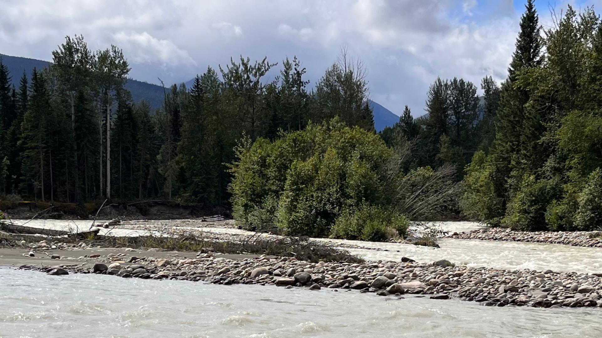
The Regional District of Fraser-Fort George and project partners City of Prince George, District of Mackenzie, Lheidli T’enneh First Nation, McLeod Lake Indian Band, Village of McBride and Village of Valemount are completing the first phase of a project to identify and map the region’s natural hazards. This project aims to identify risks associated with BC’s changing climate to support policy, disaster mitigation planning, emergency management, and land use and climate adaptation decisions.
The Collaborative Disaster Risk Reduction and Climate Adaptation project began in September 2023 and it is funded by the Union of BC Municipalities. BGC Engineering mapped flood, landslide and steep creek hazards in the study area using LiDAR data and used the project partners’ local hazard knowledge to enhance the results.
Fraser Basin Council coordinated communication and information sharing in an advisory committee with the project partners and experts from the Ministry of Forests, Ministry of Transportation and Transit and University of Northern BC. The project results will support individual project partners and the collective group to develop strategies that build resilience in decision-making and improve infrastructure asset and service management. In addition to information sharing, the advisory committee strengthens the collective group's ability to respond over the long term.
The second phase of the project will begin immediately to assess high-priority areas and identify policy options to address the risks of climate-related natural disasters. This work is scheduled for completion by the end of 2026.